Circular cycle-mountain bike route that winds through the production area of Valcalepio’s white and red DOC wines.
The route varies, the first and last stretch are of a cycle-hiking nature, while the central part is an easy mountain bike style stretch on dirt roads in the woods along the Monte del Castello ridge and Santo Stefano.
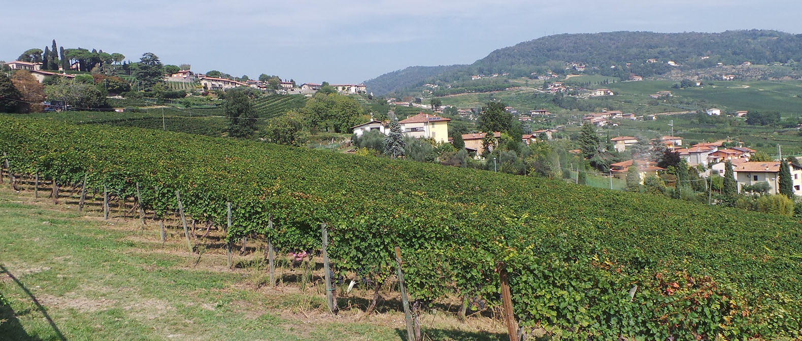
From Grumello del Monte to Gandosso an uphill panoramic road will give you incomparable views of the vineyards and valley. Further on, you will ride along an easy dirt track that runs along the ridge of the hill and you will reach the "boca di senter" (intersection of trails), beyond which the road becomes at times slightly technical and descends to Carobbio degli Angeli.
From Carobbio degli Angeli to Grumello del Monte we return to secondary roads. From Castello degli Angeli a long paved descent goes down to the valley, then continues between the villages and returns to Grumello del Monte.
The route is suitable for mountain bikes with wheels that are suitable for slightly stony dirt roads.
Route information:
Departure point: Grumello del Monte – train station
Arrival point: Grumello del Monte – train station
Travel time: 3 hours
Length: 19km
Type of path: low traffic road 50%, medium traffic road 15%, dirt road 35%
Ground: asphalt: 70%, dirt: 30%,
Total change in altitude: 450m
Minimum altitude: 201m
Maximum altitude: 569m
Practicability: All year round, to be avoided after rain and on days when hunting is permitted.
Recommended bike: Mountain bike with front suspension
Difficulty: the central part in the woods is challenging in parts
Suitable for: Adults with a minimum of amount training and who are familiar with mountain biking.
Circular cycle-mountain bike route that winds through the production area of Valcalepio’s white and red DOC wines.
The route varies, the first and last stretch are of a cycle-hiking nature, while the central part is an easy mountain bike style stretch on dirt roads in the woods along the Monte del Castello ridge and Santo Stefano.
From Grumello del Monte to Gandosso an uphill panoramic road will give you incomparable views of the vineyards and valley. Further on, you will ride along an easy dirt track that runs along the ridge of the hill and you will reach the "boca di senter" (intersection of trails), beyond which the road becomes at times slightly technical and descends to Carobbio degli Angeli.
From Carobbio degli Angeli to Grumello del Monte we return to secondary roads. From Castello degli Angeli a long paved descent goes down to the valley, then continues between the villages and returns to Grumello del Monte.
The route is suitable for mountain bikes with wheels that are suitable for slightly stony dirt roads.
Route information:
Departure point: Grumello del Monte – train station
Arrival point: Grumello del Monte – train station
Travel time: 3 hours
Length: 19km
Type of path: low traffic road 50%, medium traffic road 15%, dirt road 35%
Ground: asphalt: 70%, dirt: 30%,
Total change in altitude: 450m
Minimum altitude: 201m
Maximum altitude: 569m
Practicability: All year round, to be avoided after rain and on days when hunting is permitted.
Recommended bike: Mountain bike with front suspension
Difficulty: the central part in the woods is challenging in parts
Suitable for: Adults with a minimum of amount training and who are familiar with mountain biking.
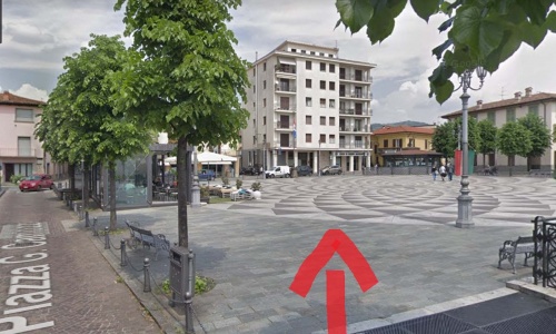
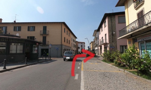
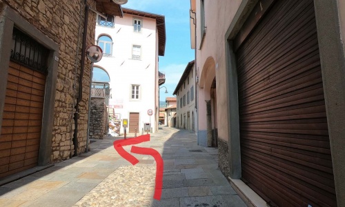
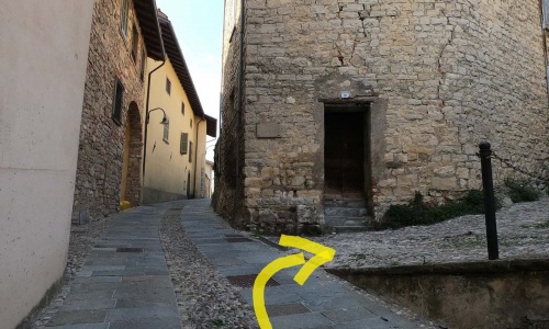

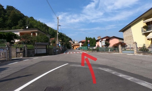
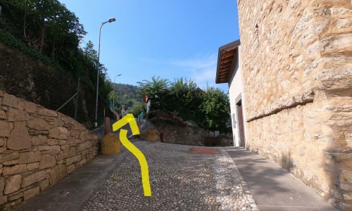
From the train station head towards Piazza Camozzi in Grumello del Monte (pic1) (pic2) (pic3) (pic4) and enter the town’s narrow streets (pic5) (pic6) (pic7) (pic8).
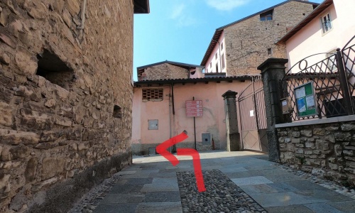
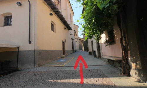
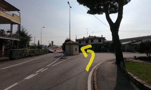
Continue on the cobbled ascent close to the Gonzaga castle (pic9) and, under a grape vine covered pergola, continue on the uphill road (via Aldo Moro) which leads to San Pantaleone (pic10).
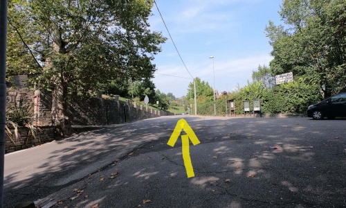
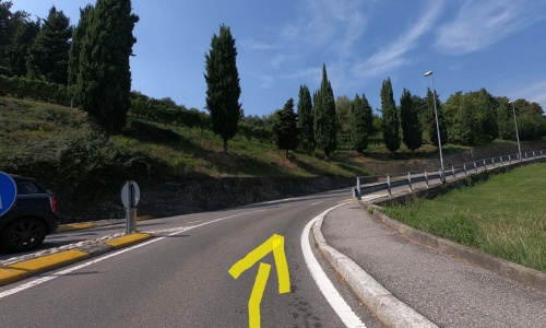
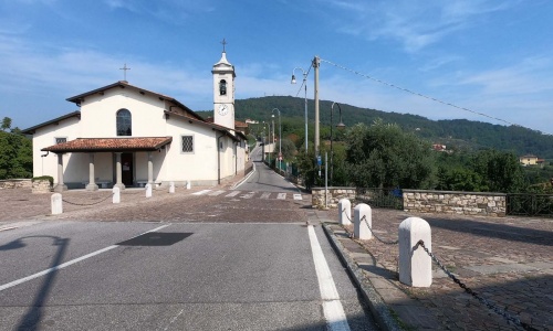
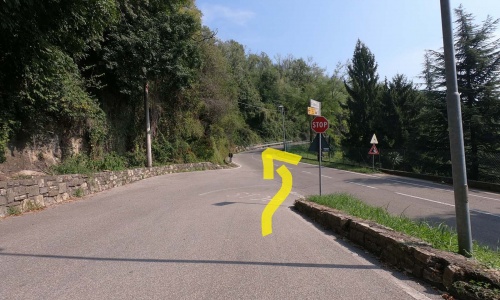
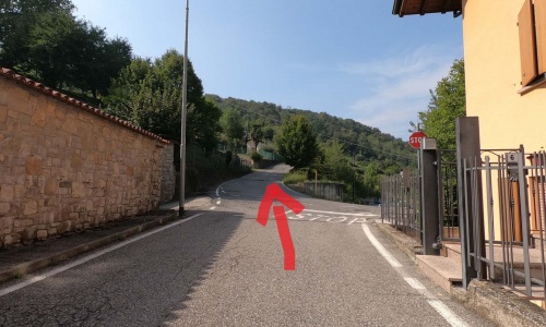
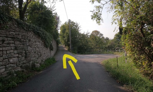
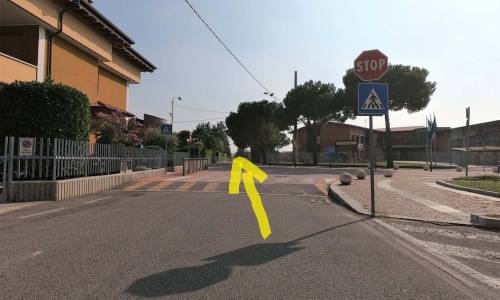
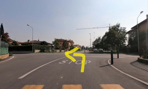
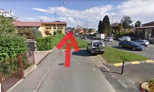
At the roundabout go straight on (pic11) (pic12) for 1.3km and after passing the church leave the main road to go up via Codera (pic13) (pic14): a demanding ascent that takes you to the alpine troops’ refuge (pic15) (pic16) (pic17). From the little church of the Alpini you will be able to observe a vast panorama of the Calepio valley and of the plain in front. You can see up to Mount Orfano and the Franciacorta area, another area that produces renowned wines, mostly sparkling.
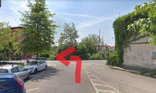
Return back to the intersection and turn left towards Gandosso (pic18).
From the train station head towards Piazza Camozzi in Grumello del Monte (pic1) (pic2) (pic3) (pic4) and enter the town’s narrow streets (pic5) (pic6) (pic7) (pic8).
Continue on the cobbled ascent close to the Gonzaga castle (pic9) and, under a grape vine covered pergola, continue on the uphill road (via Aldo Moro) which leads to San Pantaleone (pic10).
At the roundabout go straight on (pic11) (pic12) for 1.3km and after passing the church leave the main road to go up via Codera (pic13) (pic14): a demanding ascent that takes you to the alpine troops’ refuge (pic15) (pic16) (pic17). From the little church of the Alpini you will be able to observe a vast panorama of the Calepio valley and of the plain in front. You can see up to Mount Orfano and the Franciacorta area, another area that produces renowned wines, mostly sparkling.
Return back to the intersection and turn left towards Gandosso (pic18).
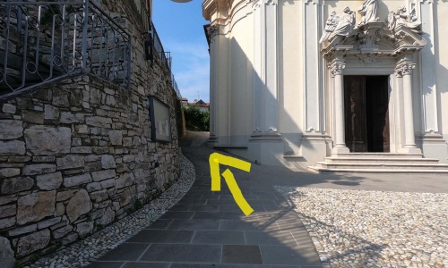
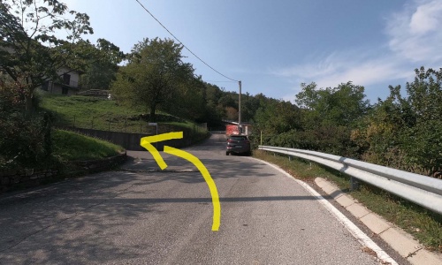

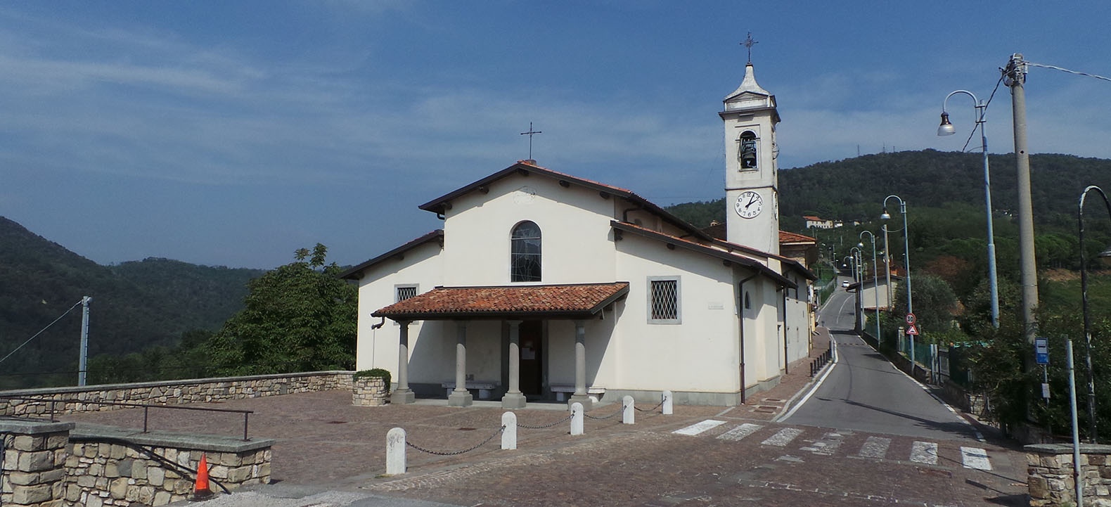
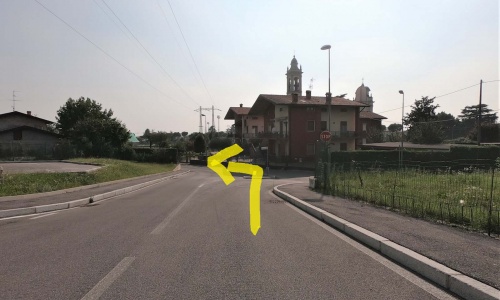
Once you reach the town of Gandosso (pic19), continue on the road that leads to the church square (pic20). From this area, you will have another opportunity to appreciate the enchanting panorama on your right, where your gaze will rest between water, land and sky: from Lake Iseo, to the peaks of Mount Bronzone and Mount Guglielmo.
Pass by the church (pic21) and continue uphill on via Chiesa (pic22) (pic23) (pic24).
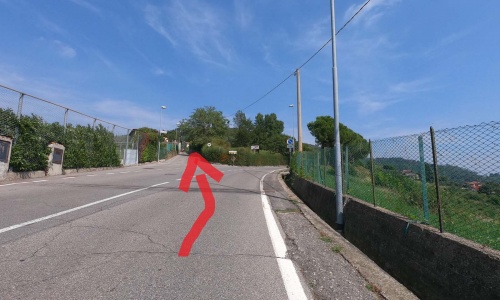
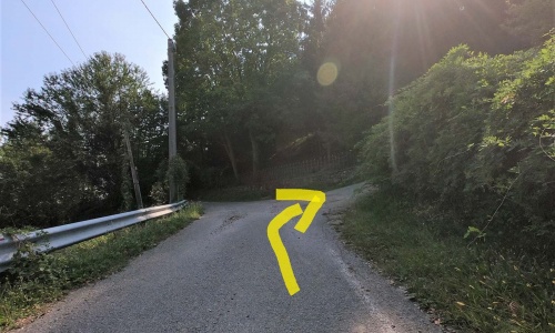
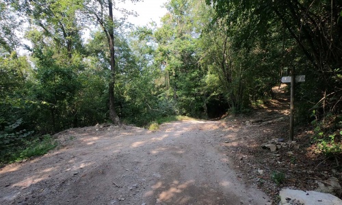
Once arrived at the woods, go up to the right and take the dirt road on the right into the wooded area (pic25) (pic26), preferably with an MTB.
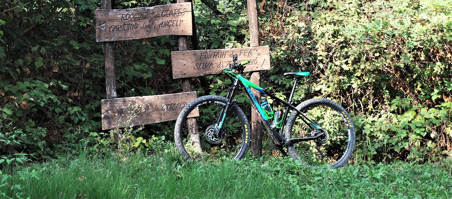
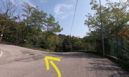
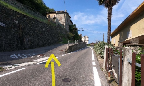
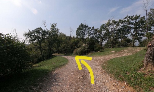
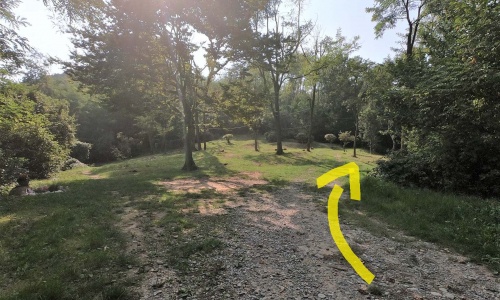
Continue, staying on the main road and ignoring all the deviations (pic27) (pic28) (pic29), pass through a couple of hunting areas and after a descent you arrive at the "boca di senter" an intersection of the many trails that come from the villages below the hill.
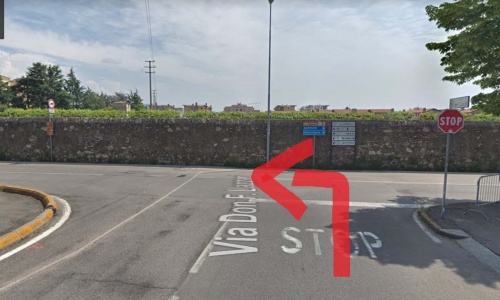
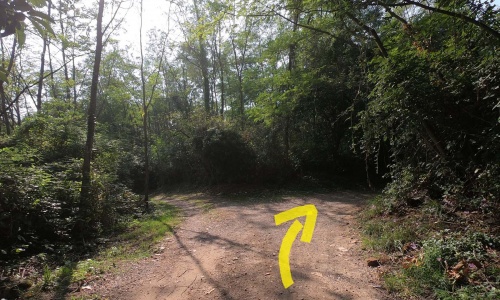
Take the right (pic30) and continue on the dirt road with a couple of slightly challenging stretches until you reach the Castello degli Angeli in Duria.
Once you reach the town of Gandosso (pic19), continue on the road that leads to the church square (pic20). From this area, you will have another opportunity to appreciate the enchanting panorama on your right, where your gaze will rest between water, land and sky: from Lake Iseo, to the peaks of Mount Bronzone and Mount Guglielmo.
Pass by the church (pic21) and continue uphill on via Chiesa (pic22) (pic23) (pic24).
Once arrived at the woods, go up to the right and take the dirt road on the right into the wooded area (pic25) (pic26), preferably with an MTB.
Continue, staying on the main road and ignoring all the deviations (pic27) (pic28) (pic29), pass through a couple of hunting areas and after a descent you arrive at the "boca di senter" an intersection of the many trails that come from the villages below the hill.
Take the right (pic30) and continue on the dirt road with a couple of slightly challenging stretches until you reach the Castello degli Angeli in Duria.
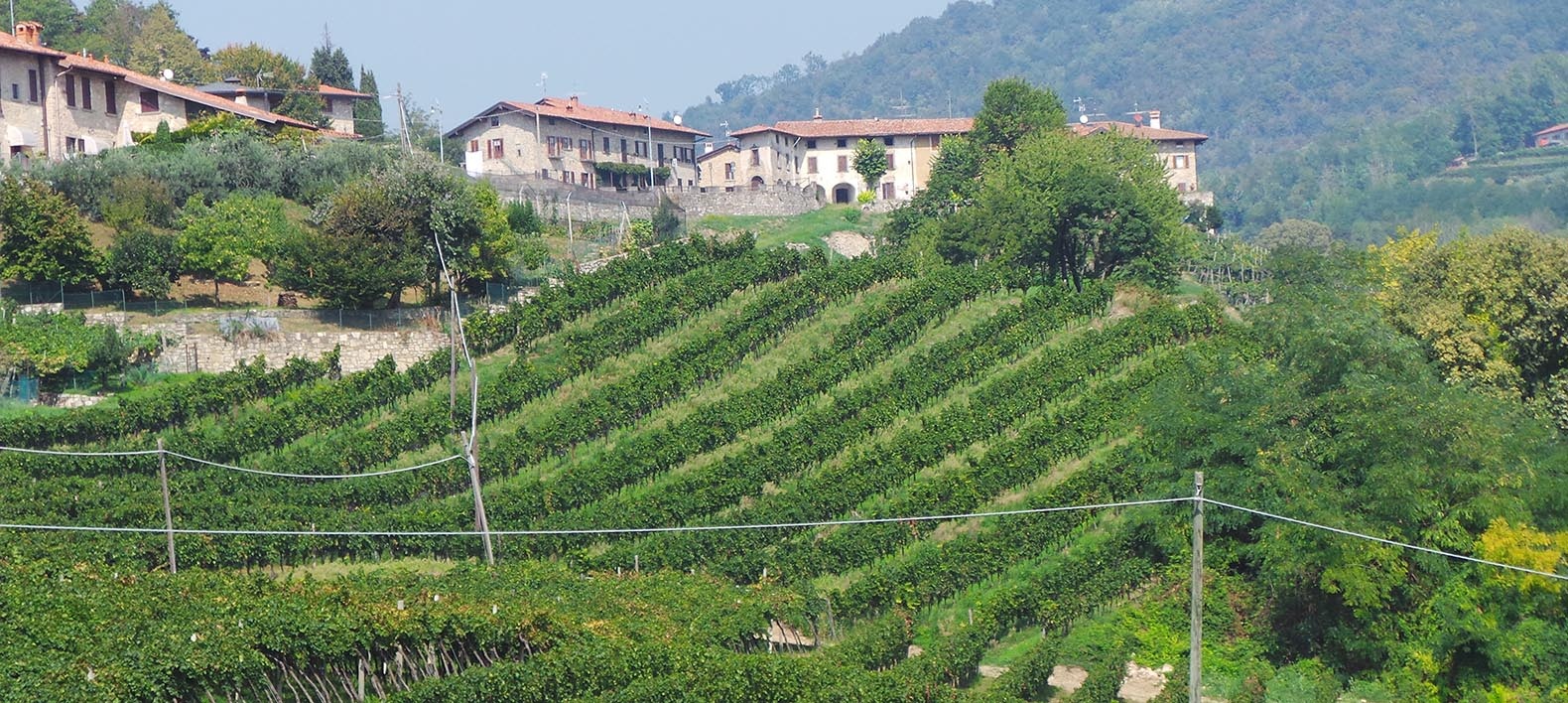
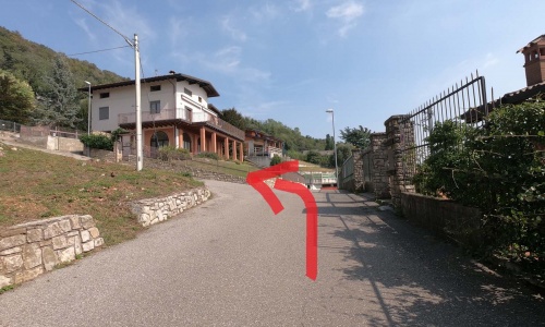
Continue on the paved road downhill (pic31) which passes next to the church of Santo Stefano until you reach the valley where you continue along the narrow streets of the village of Carobbio degli Angeli (pic32) (pic33) (pic34) (pic35) (pic36) (pic37).
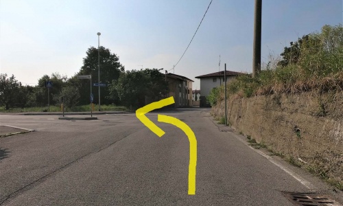
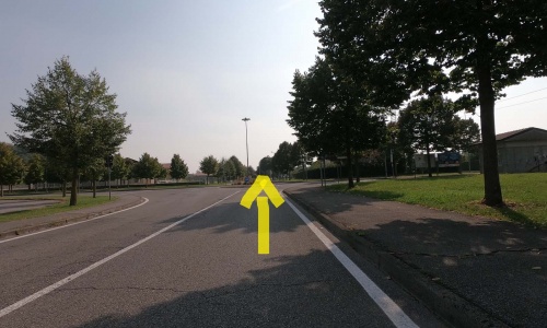
Head towards Cicola di Carobbio and take the stretch of road that passes through the town of Chiuduno (pic38) (pic39).
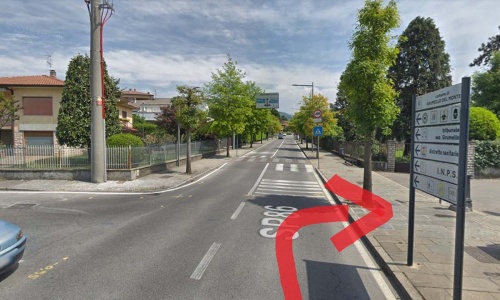
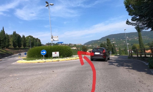
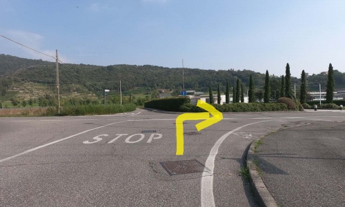
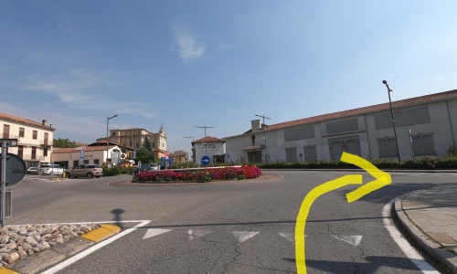
At the next two roundabouts continue straight on until you reach a third roundabout where you turn right (pic40) and arrive shortly again at the station, the starting point of the tour.
Continue on the paved road downhill (pic31) which passes next to the church of Santo Stefano until you reach the valley where you continue along the narrow streets of the village of Carobbio degli Angeli (pic32) (pic33) (pic34) (pic35) (pic36) (pic37).
Head towards Cicola di Carobbio and take the stretch of road that passes through the town of Chiuduno (pic38) (pic39).
At the next two roundabouts continue straight on until you reach a third roundabout where you turn right (pic40) and arrive shortly again at the station, the starting point of the tour.