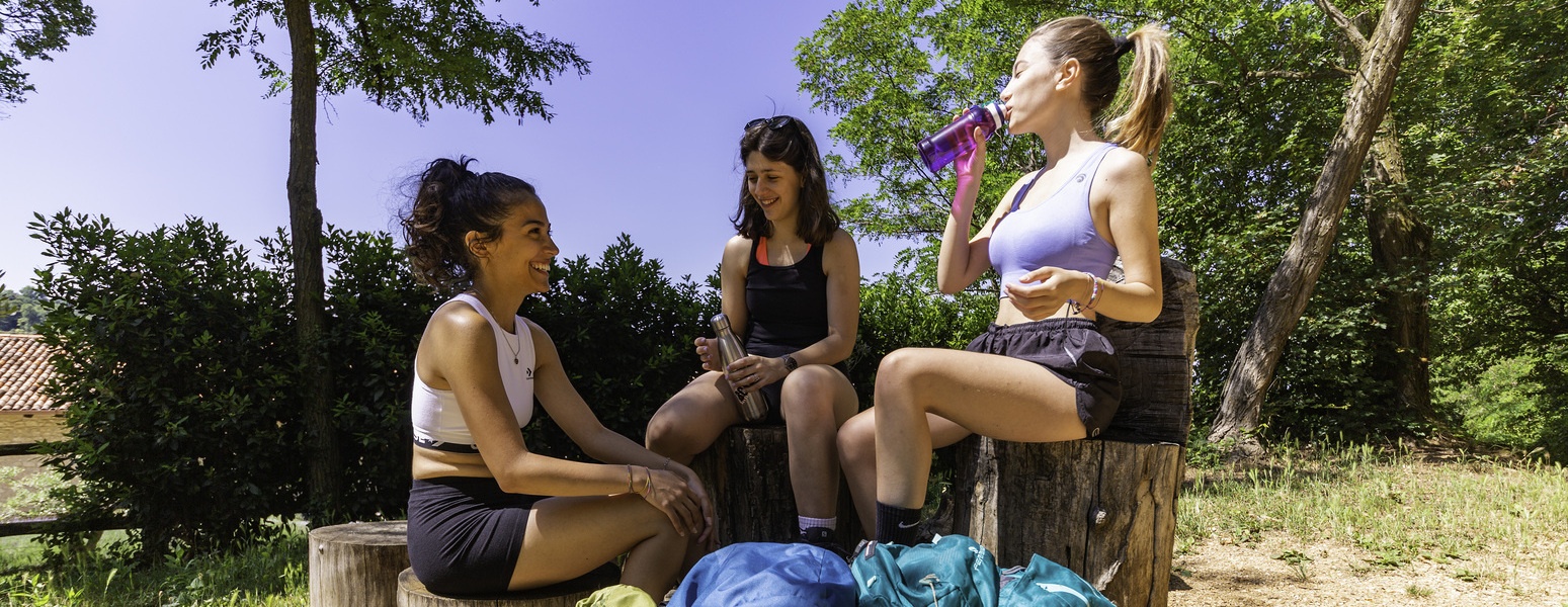
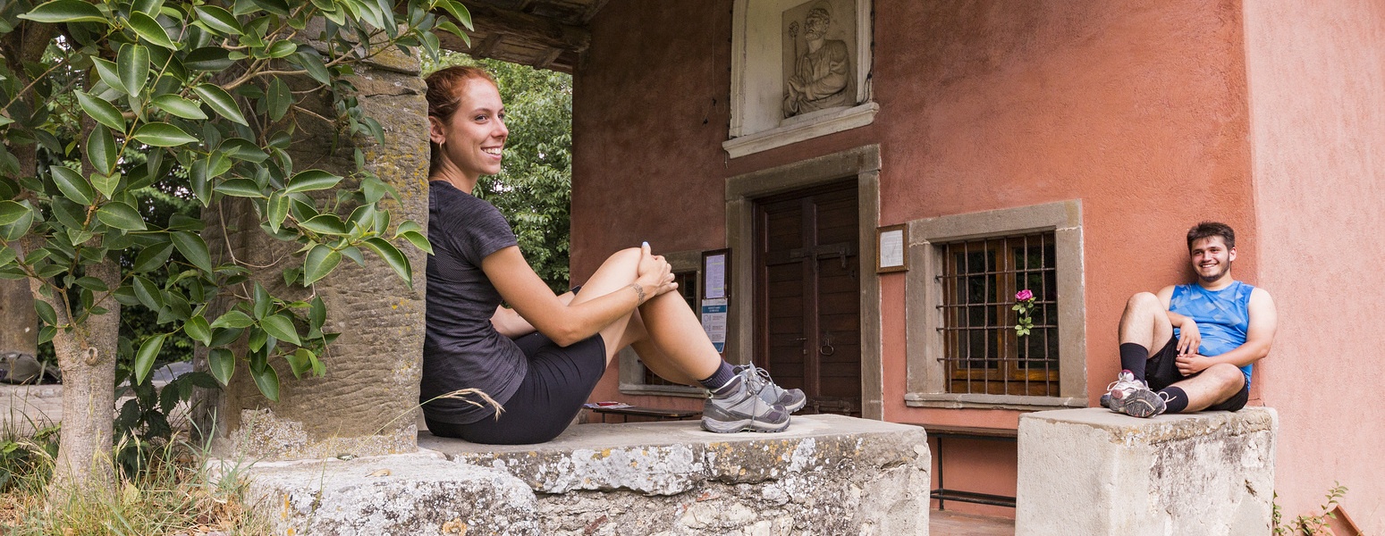
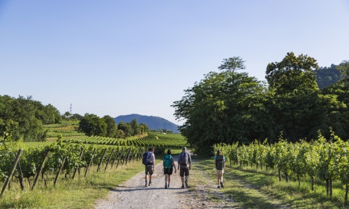
A path of 130 kilometres, bidirectional, in 6 phases, that unites the two cities Bergamo and Brescia, crosses 34 municipalities, expanding on the hilly areas of the two cities and their provinces.
The route “La Via delle Sorelle” is enriched thanks to the dialogue and the interaction with the contemporary works of art that are encountered along the way.
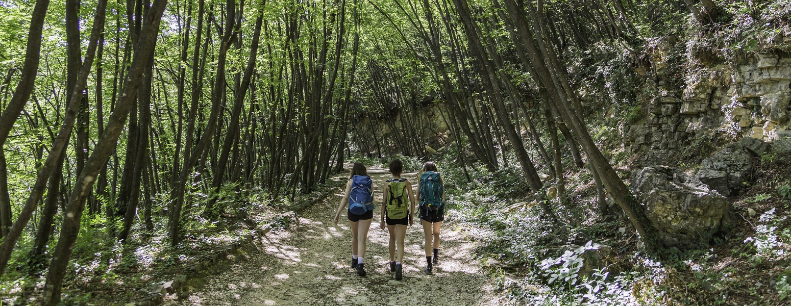
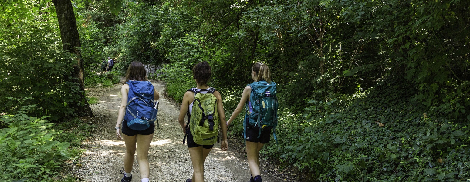
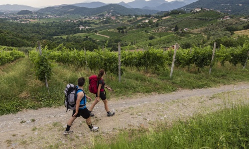
This route is characterized by the green heartlands around Brescia: Monte Maddalena, the Mompiano Valley and the Parco delle Colline, a unique naturalistic setting on the outskirts of the city of Brescia and the other municipalities crossed by this route: Collebeato, Concesio, Cellatica and Gussago.
In Brescia, a visit to the city's historic center and the Museum Complex of Santa Giulia, a UNESCO World Heritage Site, is not to be missed.
This route includes a low variant that allows you to deal with less vertical positive elevation gain and reduce the route by about 2 km.
Length: 20.8 km
Difficulty: medium
Height difference in ascent from BS: 733 m
Height difference in ascent from BG: 869 m
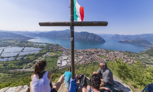
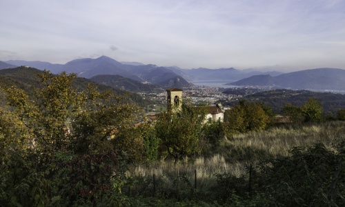
Challenging as well as the most scenic route stage with spectacular views of the peat bogs of Lake Iseo.
Here we pass through the municipalities of Gussago, Rodengo Saiano, Ome, Monticelli Brusati, Iseo and Provaglio d'Iseo. Ancient abbeys, historic villages and the summit of Mount Cognolo are just some of the distinctive beauties of this route.
This route includes a low alternative that allows for a smaller positive elevation gain and shortens the route by about 5 km.
Length: 23.7 km
Difficulty: Challenging
Elevation gain from BS: 659 m
Elevation gain from BG: 824 m
Water route. Some 20 km among the vineyards of Franciacorta, the beautiful nature oasis of the Torbiere del Sebino and Lake Iseo, nestled among the mountains.
It passes through the towns of Provaglio d'Iseo, Corte Franca, Adro, Capriolo, Paratico.
Length: 19 km
Difficulty: Easy
Height difference in ascent from BS: 375 m
Height difference in ascent from BG: 389 m
Numerous small historic villages for this route between Lake Iseo and the vineyards of the Valcalepio area. Two rivers and two mountains are encountered along the route, giving it a distinct naturalistic and wild character.
The municipalities crossed are those of Sarnico, Villongo, Credaro, Castelli Calepio, Gandosso, Gorlago, Carobbio degli Angeli, San Paolo D'Argon, Costa di Mezzate, Bagnatica.
Length: 21.7 km
Difficulty: Medium
Height difference in ascent from BS: 810 m
Height difference in ascent from BG: 357 m
Amid rolling hills, olive groves and wide paths through the woods, this route travels through the Terre del Vescovado area and the cradle of the prized Moscato di Scanzo DOCG.
The municipalities crossed are those of Brusaporto, Albano Sant'Alessandro, Scanzorosciate, Villa di Serio, and Nembro.
There is a direct route and a side one, the latter characterized by the discovery of the historic center of Scanzorosciate.
Length: 17.4 km
Difficulty: Easy
Height difference in ascent from BS: 617 m
Height difference in ascent from BG: 374 m
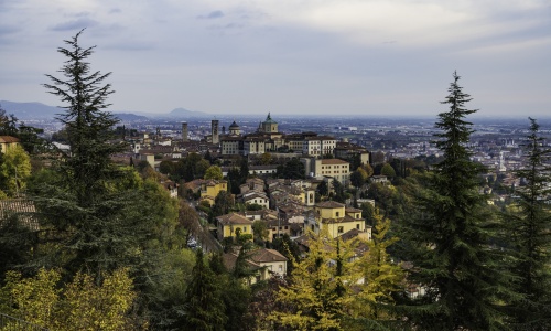
Challenging route! The trails and landscapes here are constantly changing, stunning at every step. Colle della Maresana and Parco dei Colli are the protagonists of the stage in addition, of course, to Città Alta: the historic heart of Bergamo. The walk along Bergamo's Venetian Walls, a UNESCO World Heritage Site, is not to be missed.
The municipalities crossed in this stage are: Nembro, Alzano Lombardo, Ponteranica, Bergamo.
For the more daring, the "side" route crosses Scanzorosciate, increasing the total positive elevation gain and 6 km in length.
Length: 21.4 km
Difficulty: Challenging
Elevation gain from BS: 1215 m
Uphill gradient from BG: 1215 m
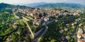
Bergamo wouldn’t be the same without its impressive Venetian Walls. This spectacular circuit is over six km long: it’s the perfect place to take a romantic walk and enjoy wonderful sunsets, and it has been enclosing the beauties of the Upper Town for more than four centuries.
The priceless artistic and cultural value of the Venetian Walls is demonstrated by their recognition as a Unesco World Heritage site.
They were built starting from 1561 by the Republic of Venice in order to face enemies attacks, but History was kind with them: maybe due to their stunning beauty, they never underwent any siege. That is why they remained almost intact to the present day.
The Walls consist of 14 bastions, 2 platforms, 100 embrasures for cannons, 2 armouries, four gates, not to mention the underground structures featuring sallies, passages and tunnels: don’t miss the chance to walk inside the Walls and to visit the casemates of San Michele and San Giovanni!
Did you know that Bergamo is the only city enclosed within a park?
Bergamo’s Hill Park or Parco dei Colli, which stretches for more than 4,700 hectares, brings together the capital and other neighbouring municipalities in a big crown, jewelled with a wide variety of vegetation, animals and landscapes, from the historic core in the Upper Town and nature reserves to the beautiful valley that is home to the former Astino monastery.
You can walk around for hours losing yourself in the wonders of the park: reach the San Vigilio Castle, Bergamo’s highest point, from which you can enjoy a spectacular view of the surrounding territory; run up and down the stairs; visit Donizetti’s birthplace or the Church of Santa Grata Inter Vites… The Parco dei Colli truly offers you so many possibilities!